
Bourne ZIP Coverage by Village
The 2025 Bourne Town Report identifies six residential ZIPs, and the Barnstable County village list confirms the village pairings. They are postal locality clues, not six separate municipal jurisdictions. A record may say Buzzards Bay, Cataumet, Monument Beach, Pocasset, Sagamore, or Sagamore Beach while the Registry still indexes the affected property under the town of Bourne. Keep the village label alongside the parcel number or legal description when comparing records from different offices.
| ZIP | Areas Covered | Post Office | Notes |
|---|---|---|---|
| 02532 | Bourne Village, Buzzards Bay, Bournedale | Buzzards Bay/Bourne | The Town Report groups all three localities; the inspected Bourne station is in Buzzards Bay. |
| 02534 | Cataumet | Cataumet | A village and postal pairing, not a legal town boundary. |
| 02553 | Monument Beach | Monument Beach | Listed by both the Town Report and county village source. |
| 02559 | Pocasset | Pocasset | Hen Cove and shore addresses can carry this locality label; confirm each address with USPS. |
| 02561 | Sagamore | Sagamore | Near the Canal and distinct from Sagamore Beach. |
| 02562 | Sagamore Beach | Sagamore Beach | A separate ZIP from Sagamore; town history places its summer-colony origin in 1904. |
These six entries are the verified residential set in the local sources. A postal label can be useful for locating a village, yet it should never replace the town, parcel, or deed description used by the relevant custodian.
Bourne ZIP 02532 and Villages
ZIP 02532 is the broad local grouping in the Town Report. It covers Bourne Village, Buzzards Bay, and Bournedale, while the county village page organizes Buzzards Bay under the Bourne town heading. That combination explains why two records connected to nearby places can carry different village wording without pointing to different towns. It also matters in older material: West Sandwich became Bournedale, and Cohasset or Head of the Bay became Buzzards Bay. Search those older labels when a directory, map, or deed does not use the current postal name.
Bourne was incorporated from part of Sandwich in 1884. For a pre-incorporation record, a current 02532 address may lead to a Sandwich or predecessor-village label rather than a Bourne entry. The legal description and the historical map are better continuity tools than the modern ZIP alone.
Bourne ZIP Villages and Localities
Cataumet, Monument Beach, Pocasset, Sagamore, and Sagamore Beach each have their own listed postal locality. The distinction is practical around the Canal and coast, where the villages preserve older names. The Town's Open Space history reports that Cataumet was South Pocasset, Monument became Bourne Village, North Sandwich divided into Sagamore and Sagamore Beach, and West Sandwich became Bournedale. A former resident or family may therefore be filed under a label that no longer matches the ZIP used today.
The 2025 Town Report gives a townwide figure of 16,345 registered voters, but it does not publish a ZIP-by-ZIP roll. ZIP-wide population or registration totals should be treated as statistical geography, not proof that a person belongs at an address. Use a dated parcel, deed, directory, or lawful Clerk record for that question.
Note: Bourne's seasonal population can be much higher than its year-round count, so a locality label is not a reliable count of permanent households.
Find Residents in a Bourne ZIP
A ZIP can focus the first search, but none of Bourne's core systems produces a complete ZIP-based resident list. The sensible path is postal verification, village context, parcel research, and then a title or historical source. The assessor instructions accept an address, owner name, or map-block-parcel identifier, not a documented ZIP field. The Registry address screen accepts an address, town, document type, and dates, not a ZIP. Once a postal area is narrowed to a specific road, use the parcel workflow rather than treating a delivery area as a property boundary.
- Use the official USPS address lookup to validate the delivery ZIP and postal locality for the address in hand.
- Compare that locality with the Town Report and county village listing, including an older village name when the record predates current labels.
- Search the Bourne property-card route by house number and street, then retain its map, block, and parcel identifiers.
- Open MassGIS MassMapper to compare the parcel with ZIP and road layers.
- Use the Barnstable name index by owner and town for title records, then use directory and map sources for older address history.
When the question has narrowed to a named road, the Bourne street directory has the fuller address-to-parcel workflow. The ZIP is an efficient filter, but the parcel is the durable link between the map and the record.
Bourne ZIP Tool Fields
The Massachusetts Secretary of the Commonwealth's Find my voter registration status form uses a residential ZIP as one required check. It is intended for an individual to confirm that person's registration, not for building a local roll. The same form also requires identifying details and an agreement checkbox, so it cannot substitute for a ZIP directory or a street-list request through the Bourne Town Clerk.
| Field | Type | Required | Use or format |
|---|---|---|---|
| First Name | Text | Yes | Name supplied at registration. |
| Last Name | Text | Yes | Registered spelling; use a prior ZIP if the voter moved. |
| Month, Day, Year | Dropdowns | Yes | Date-of-birth fields. |
| ZIP Code | Text | Yes | Five-digit residential ZIP. |
| Agreement | Checkbox | Yes | Individual-use statement. |
| Search / Reset | Buttons | No | Result behavior depends on a match. |
Massachusetts central voter names and addresses are restricted under M.G.L. c.51 §47C. Historical annual registers and street lists are handled through the Clerk subject to inspection and confidentiality rules, and confidential voters can be omitted.
Bourne ZIP Code Boundary Limits
ZIP areas are USPS delivery constructs, not municipal lines. MassGIS says its five-digit ZIP polygons use an older USPS/HERE source, are frequently revised, do not align topologically with parcels, and should not be confused with Census ZCTAs. Use USPS for the delivery result at one address and use MassMapper as a visual layer. The Registry, by contrast, indexes property by town and recorded legal description. That difference is why a Bourne postal label does not prove that an address sits within the municipal boundary.
Bourne's geography makes that distinction more than a technical detail. The Canal, coastal inlets, bridges, and former Sandwich village names make a postal locality a quick discovery key, while the old village name and legal description preserve continuity across a record trail. If a map and an address label appear to disagree, retain both observations, identify the parcel, and ask the relevant town or county office which record controls the question being researched.
For map data that is not available online, Bourne Engineering accepts phone, email, and in-person requests for accepted-road layout plans and town-associated subdivision plans. A request to the Records Access Officer can seek an existing parcel or GIS export under the Massachusetts Public Records Law, subject to exemptions. Neither route turns a ZIP into a boundary, but both can supply the geography needed to check one.
- ZIP
- A five-digit USPS delivery area. It identifies postal routing, not a deed boundary or a municipal district.
- ZIP+4
- An added four-digit delivery segment that narrows mail routing within a five-digit ZIP. It does not identify a parcel owner.
- PO-box ZIP
- A postal code assigned for post-office boxes. It should not be treated as the physical location of a residence.
- Unique ZIP
- A ZIP used by one institution or organization. The local research has not verified 02542 as a Bourne residential ZIP.
- Carrier route
- A mail-delivery sequence used by USPS. It can cross the geography that a map or town record uses.
Boundary check. A postal city name, a parcel owner, or an individual voter confirmation does not establish current occupancy or municipal jurisdiction. Confirm the question with the office that keeps the record.
Bourne ZIP Areas Before 1963
Modern ZIPs were introduced in 1963, so Bourne's older directories and census records usually identify a village or post office instead. The digitized 1903 Bourne/Falmouth directory and later cataloged runs for 1908, 1926, and 1929 need to be read with their original locality wording. Pair an old village name with the 1880 or 1906 atlas and the Sanborn years rather than applying a present postal label to a historic record.
The Town's historical-map collection supplies the 1880 and 1906 atlases, boundary material, and Bourne Sanborn links. Those maps can establish a road, structure, or village context. They do not identify every person who lived at the location.
Bourne ZIP Maps and Parcels
Bourne Engineering's map hub links researchers to MassMapper, assessor maps, historical maps, zoning, road-location, and road-ownership resources. Its map links show why a delivery area must be brought back to a physical parcel before a record search continues.
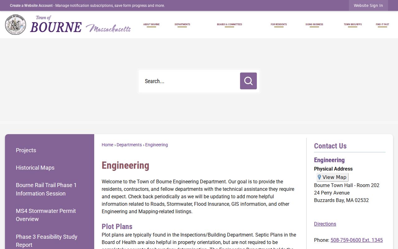
Use the linked map resources to identify a road and parcel, then use the assessor card and Registry name search for the record relationship. The map can also show roads, water, zoning, flood, district, ZIP, or address layers depending on what is loaded. A ZIP polygon is helpful orientation, not title evidence.
Bourne's Unverified 02542 ZIP
Some nonlocal postal material mentions 02542 with Otis Air National Guard Base, but the official Town Report's residential table does not include it among Bourne's six ZIPs. The research did not verify whether it is a current institutional or unique code within Bourne. Treat it as an address-specific USPS verification question, not as a seventh resident area.
This restraint prevents a common error: adding a code because it appears near Bourne on a broad map, then applying it to municipal records that use town, village, parcel, and legal-description fields instead.